
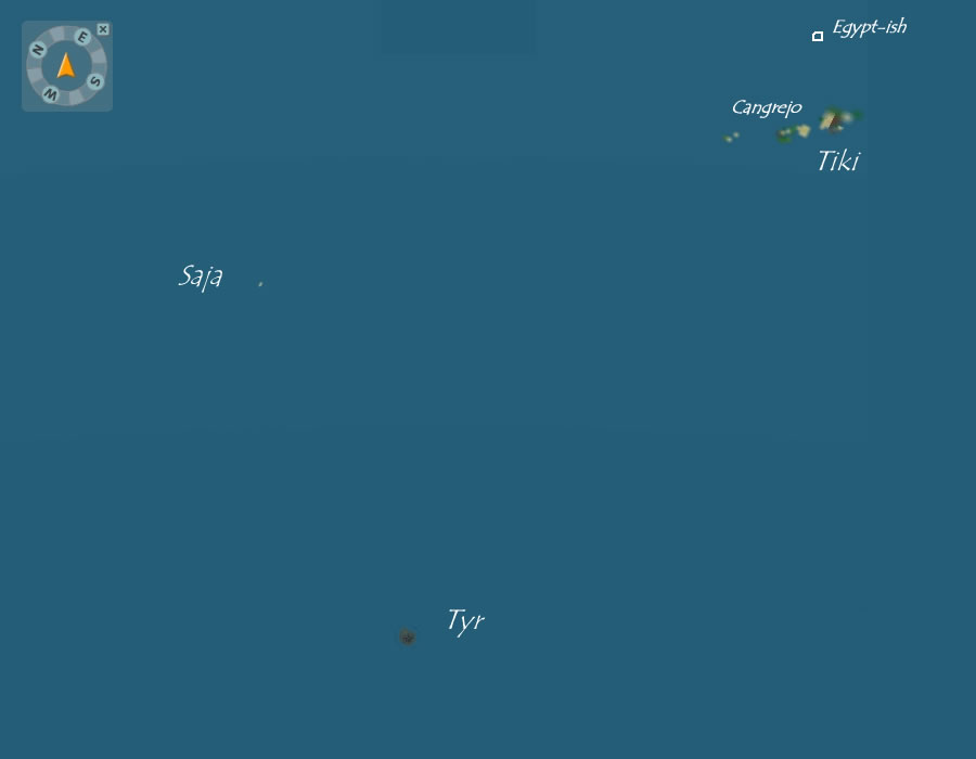
In an effort to help the inter-oceanic explorers out There, I set out to get a good map of all the islands and show their directional relationships. With the release of the new public beta, and the inclusion of the compass, I was finally able to finish this project. Below are several images I think will be helpful to anyone wanting to explore from one island to another.
All of these images are based off a screenshot I took from a drop point I have HIGH above Tyr. It took several tries (mostly to overcome 'server burps') but I managed to hoverpack about 20 hours above the Boneyard. I haven't timed the free fall yet, but I'll modify this page with the time when I do.
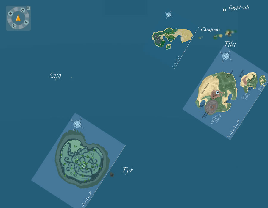
Click for a full size image
Click for a full size image
Click for a full size image
Click for a full size image
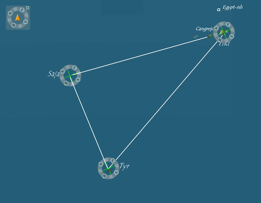
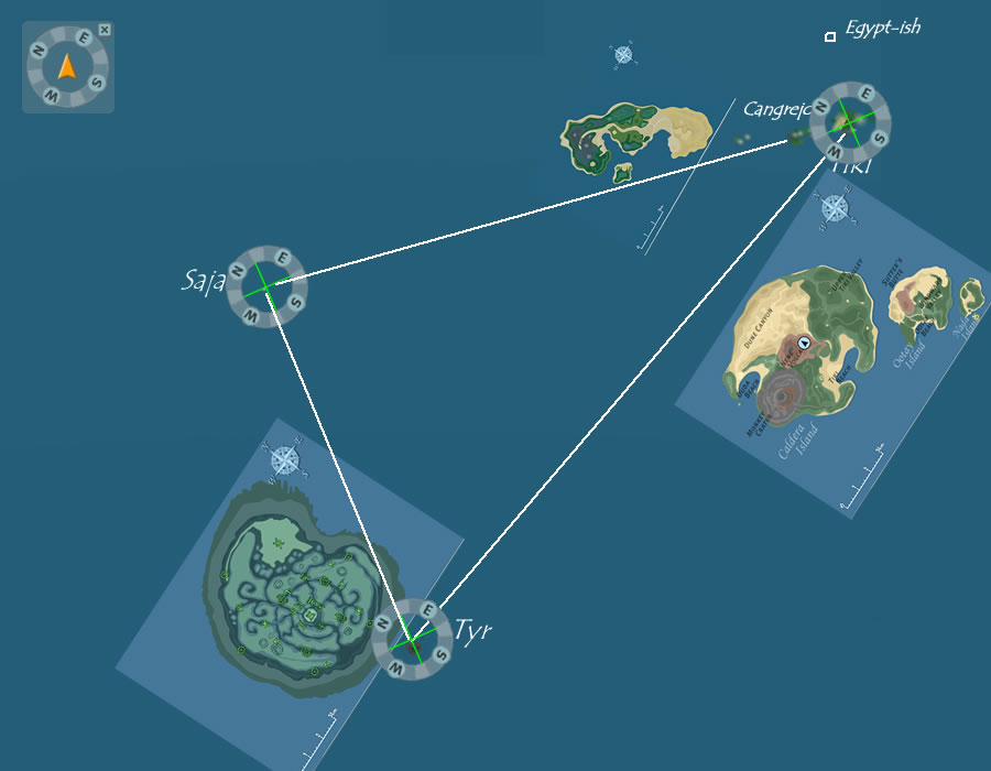
I also decided to do some rough distance estimates. I have to remind you that these estimates are VERY rough guesses. Basically, I used the scale included in the There Map image for Tyr and measured the width of Tyr (approximately 9km from north to south). I then measured the pixel width of Tyr in the base screenshot. That gave me a rough estimate of 17 pixels in the image for every 9km in There. I applied that ratio to the length of paths between the different islands and came up with these numbers:
Tyr to Tiki - 320km
Tyr to Saja - 181km
Saja to Cangrejo - 260km
Again, these distances are rough estimates and rely on the scale representation in There Maps being accurate. I hope this information helps anyone who wants to explore the oceans.